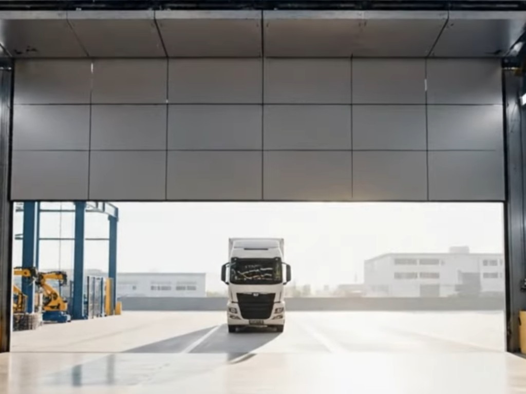
Production control is waiting on a dedicated trailer from a tier-one supplier. On the TMS map it is moving north on the D1, GPS ping every few minutes, ETA 09:40. At 09:55 someone calls the gate. The truck is in your yard. The live map still shows it twenty kilometres south because the moment it turned off the motorway and entered your site, the cellular tracker lost clean sky view and the dot stopped updating.
Dock two is empty. Dock four has a different carrier. The forklift team walks the yard. Radio traffic starts. The trailer was visible for three hundred kilometres and invisible for the last three hundred metres (~1,000 ft) — exactly where labour, bay time, and line feed actually matter.
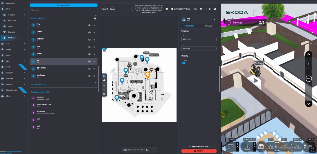
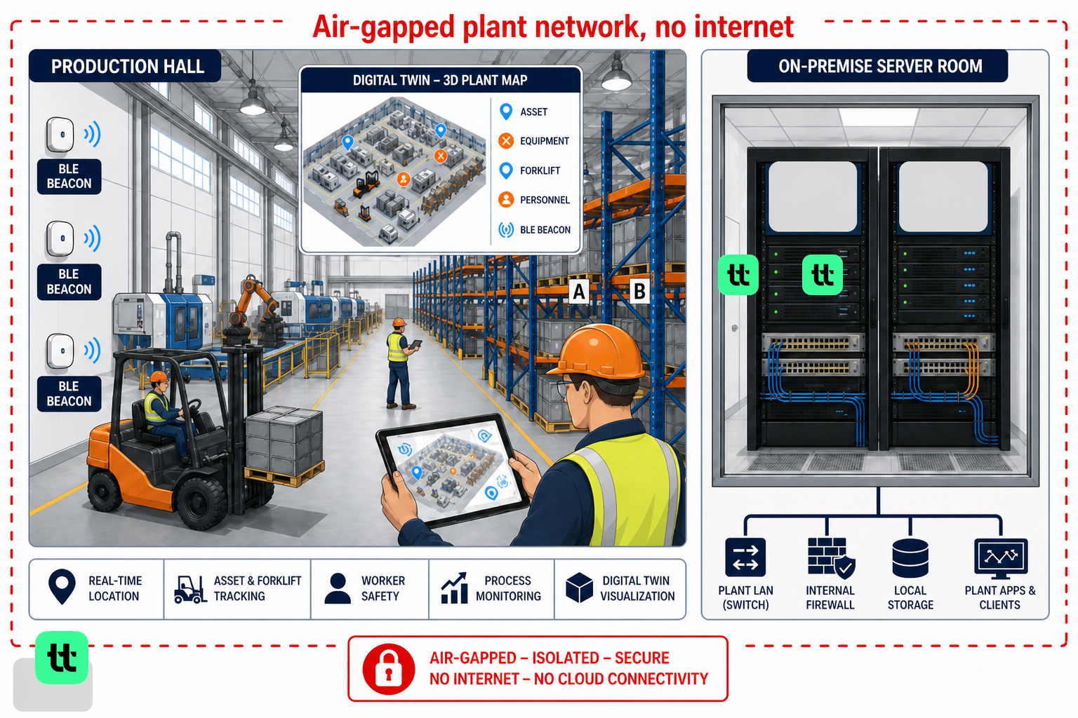
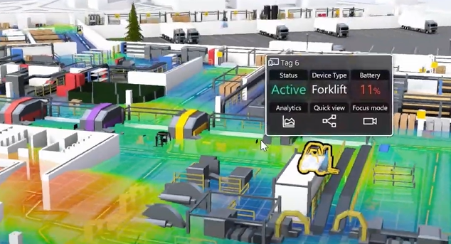
That gap is normal. GPS and cellular trackers work in open sky. Roofs, walls, and metal siding kill or scatter the signal. Most plants solve the last mile with phone calls, gate logs, and ASN paperwork that never lands on the same map planners use inside the hall. twinzo closes the handoff: keep the outdoor leg on GPS coordinates, pick up the asset with indoor RTLS once it crosses your geofence, and show both on one facility model so the dock team sees the truck at bay four instead of on the motorway.