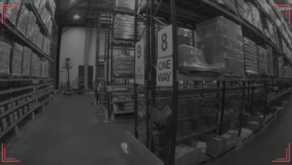
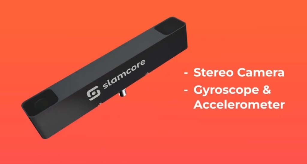
Simultaneous Localization and Mapping (SLAM) estimates a device's pose (position and orientation) while building or updating a map of an unknown environment. Indoors and in metal-heavy plants, GNSS is weak or unavailable. Beacon and UWB RTLS solve the same job with fixed infrastructure. SLAM solves it from onboard sensors only: cameras, IMU, LiDAR, or combinations of those.
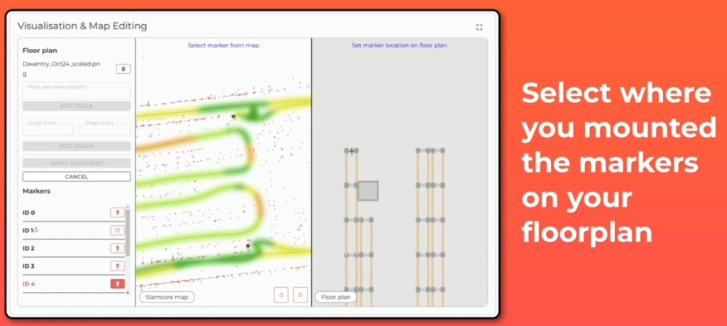
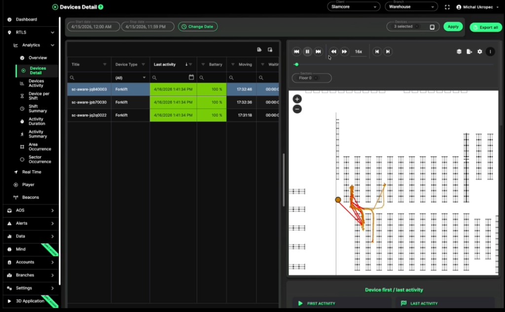
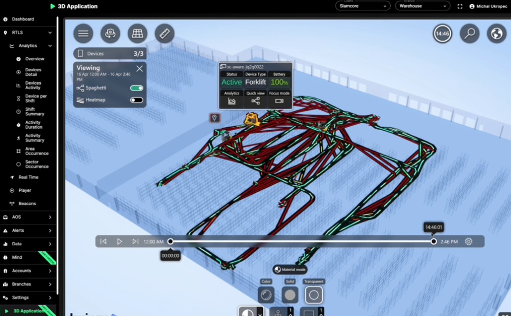
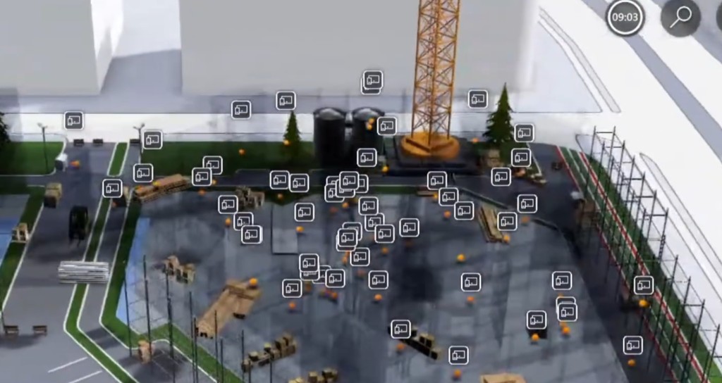
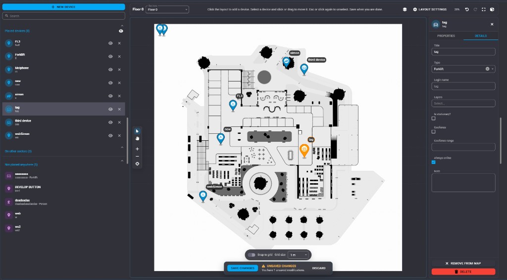
The output that ops systems care about is a continuous stream of poses in a map frame, typically at tens of hertz, plus a map that later sessions can localize against. Those poses become forklift tracks, AMR paths, and spaghetti overlays on a digital twin once the SLAM frame is aligned to the facility floor plan. Without that alignment, the track is metrically useful in its own coordinates and useless next to CAD walls or twinzo areas.
This article stays on the technical path: sensor models, front-end tracking, back-end optimization, loop closure, alignment, failure modes, and commercial stacks including Slamcore.